Quick Brian Head Weather Snapshot (Answer First)
Today’s Weather in Brian Head, UT: Mainly sunny with a high temperature forecasted to be around 50°F. The current temperature in Brian Head, Utah, is 44°F (6°C). The humidity level in Brian Head is currently around 25% to 30%.
The UV index in Brian Head is currently 2 out of 11. The sunrise in Brian Head is at 7:38 AM and sunset is at 5:14 PM. The low temperature for tonight is expected to be around 20°F.
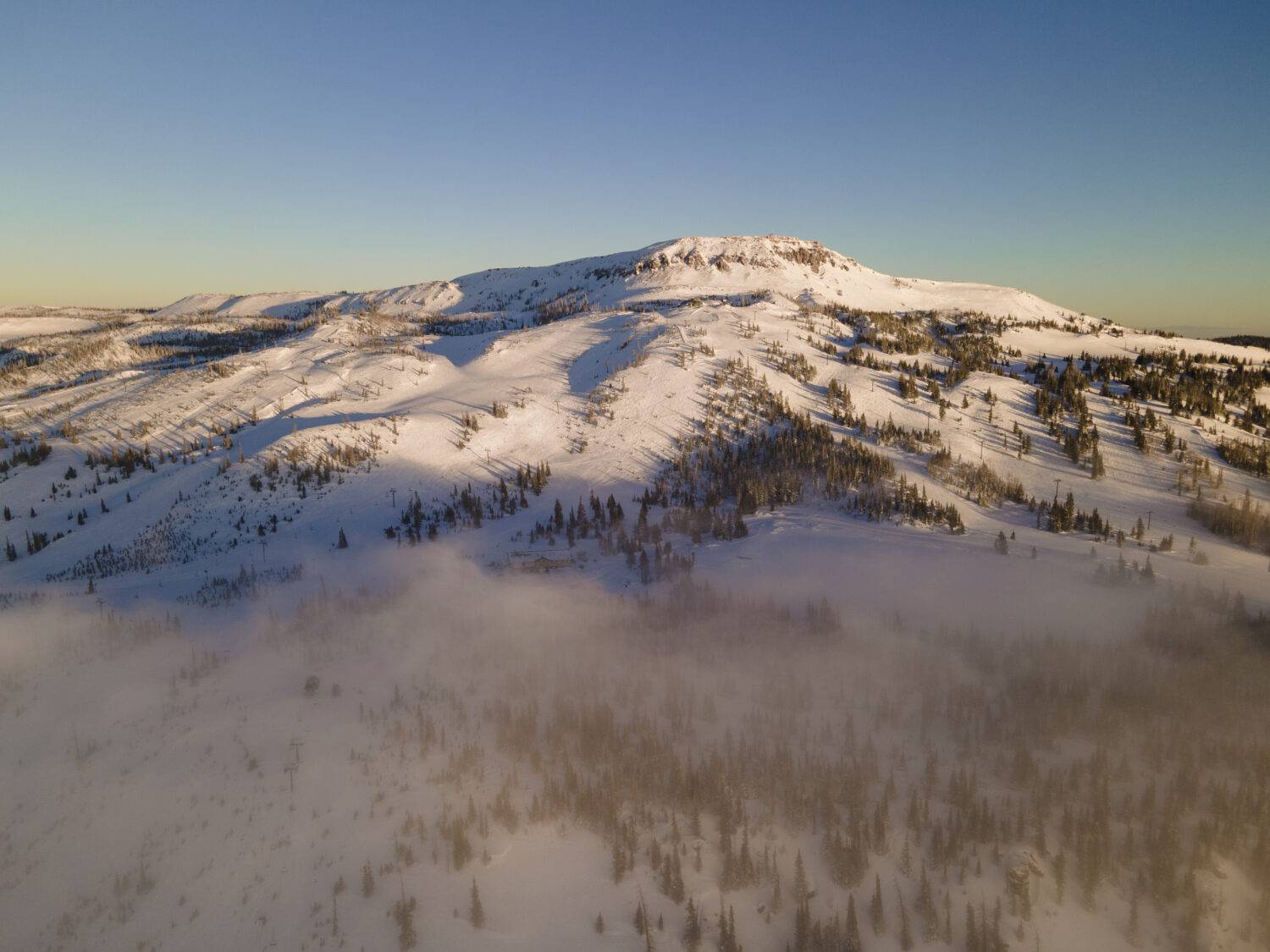
Brian Head’s current weather conditions reflect its status as Utah’s highest ski resort town, where temperatures can swing from sunny afternoon highs in the 40s to arctic overnight lows well below freezing.
The resort summit reaches over 11,000 feet, creating significant temperature differences between the base area and upper mountain that every visitor needs to understand.
Current Season Overview:
- Today: Mainly sunny, high temperature around 50°F
- Current Temperature: 44°F (6°C)
- Humidity: 25% to 30%
- UV Index: 2 out of 11
- Sunrise: 7:38 AM
- Sunset: 5:14 PM
- Winter (Dec-Mar): Daytime highs 25-45°F, overnight lows 5-25°F
- Summer (Jun-Aug): Daytime highs 65-75°F, overnight lows 40-50°F
- Elevation Impact: Summit temperatures average 10-15°F colder than base
Hourly Temperature Forecast:
- 1 PM: 50°F
- 2 PM: 50°F
- 3 PM: 49°F
- 4 PM: 47°F
- 5 PM: 42°F
- 6 PM: 37°F
- 7 PM: 33°F
- 8 PM: 30°F
- 9 PM: 28°F
- 10 PM: 27°F
- 11 PM: 25°F
- 12 AM: 24°F
- 1 AM: 23°F
- 3 AM: 22°F
- 5 AM: 21°F
- 6 AM: 21°F
- 7 AM: 21°F
- 8 AM: 22°F
- 9 AM: 30°F
- 10 AM: 38°F
- 11 AM: 44°F
- 12 PM: 47°F
Pros for Visiting Now:
- Exceptionally dry powder snow conditions
- 258 sunny days annually – double the national average
- Clear mountain visibility exceeding 12-15 miles
- Minimal crowds compared to lower elevation resorts
Cons for Current Conditions:
- Extreme cold nights with potential for arctic air intrusions (sudden drops in temperature caused by cold air masses moving in from the north)
- Chain controls frequently required on UT-143
- Rapid temperature swings between day and night
- High UV exposure due to altitude and snow reflection
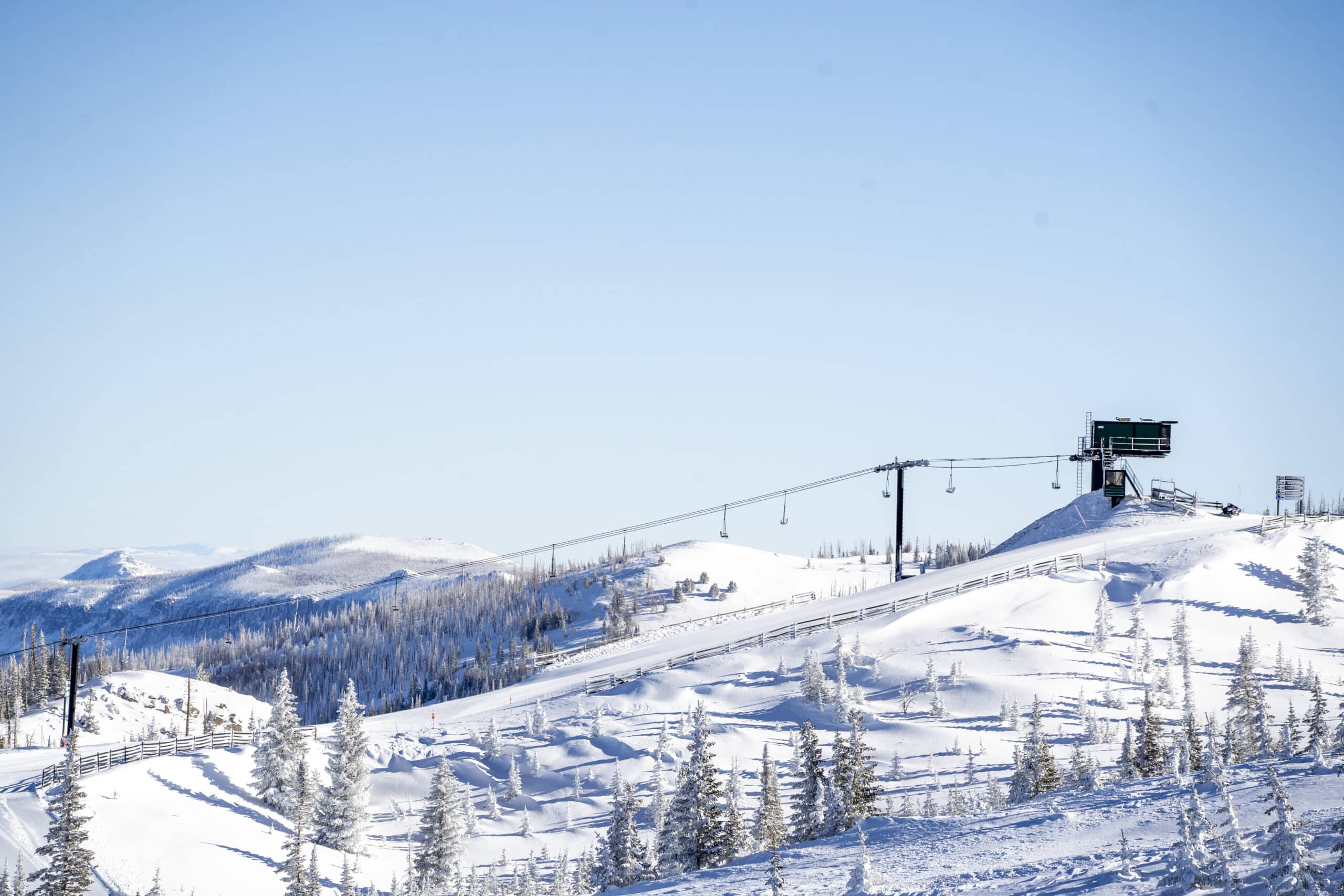
Base vs. Summit Weather Differences:
- Base area (9,600 ft): Generally 5-10°F warmer, less wind
- Summit (11,307 ft): Significantly colder, wind chill factors, possible whiteout conditions

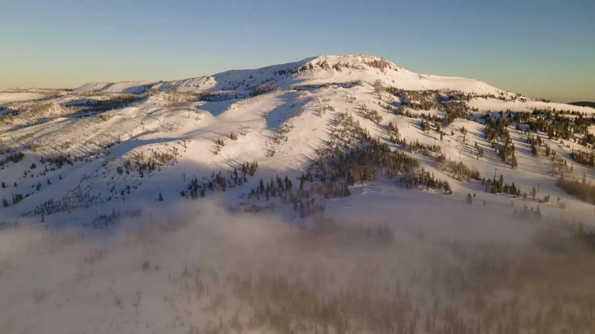
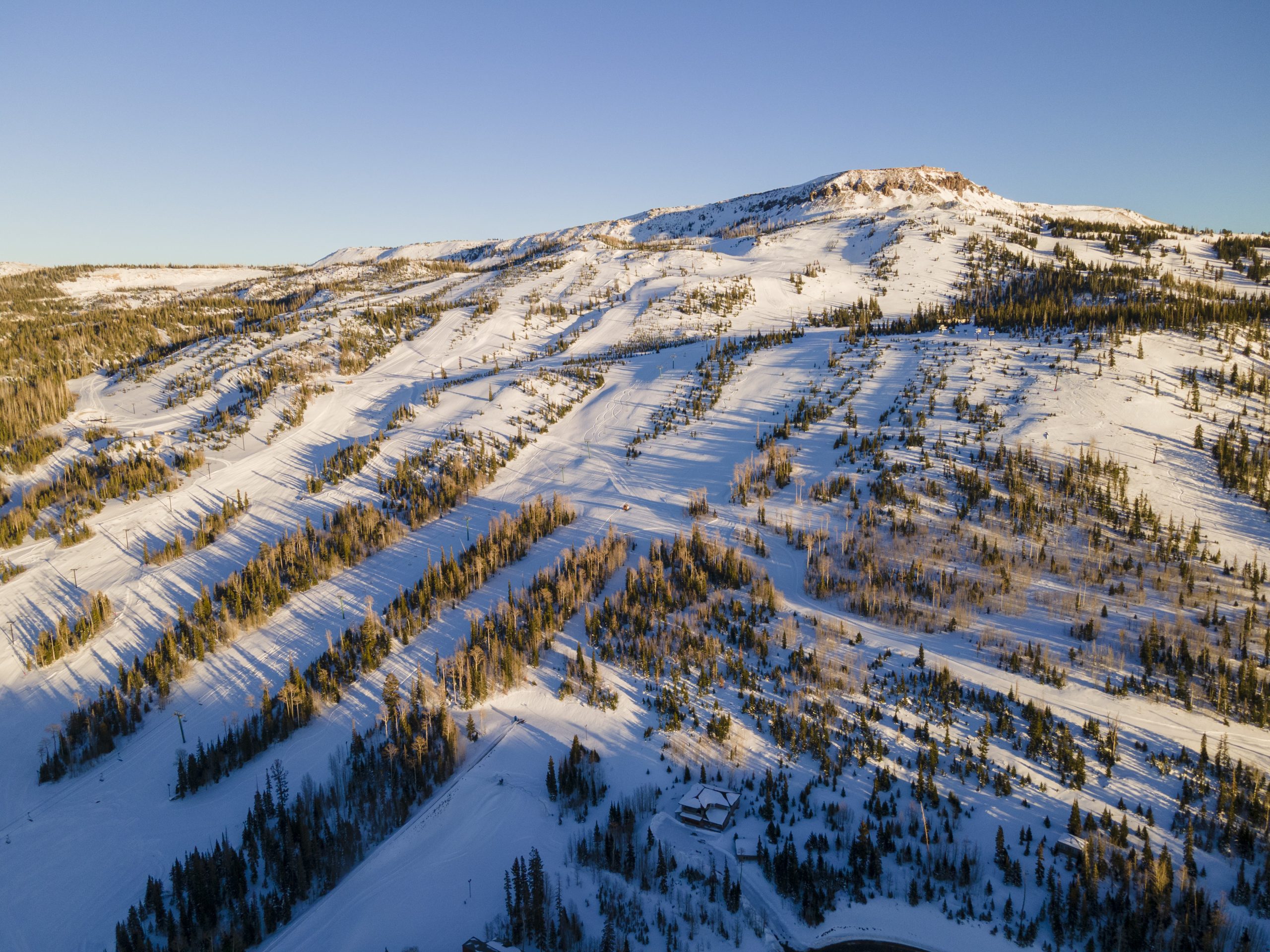
Brian Head, Utah, sits at an impressive 9,600 feet elevation in the heart of Iron County, offering some of the most dramatic mountain weather patterns in the western United States.
This high-alpine destination experiences extreme seasonal swings, from bone-chilling winter storms that dump over 300 inches of snow annually to pleasantly cool summer days perfect for escaping the desert heat below.
This guide is for visitors, skiers, and outdoor enthusiasts planning a trip to Brian Head, Utah. Up-to-date weather information is crucial for planning activities, as conditions can change rapidly due to the high elevation and dynamic mountain climate.
Check out things to do in Brian Head to make the most of your visit year-round.
Brian Head 10-Day Weather Overview
The typical 10-day forecast pattern for Brian Head reveals the dynamic nature of high-altitude weather, where sunny bluebird days can quickly transition into significant snow events.
Early in most 10-day periods, expect predominantly clear to partly cloudy skies with highs reaching the mid-40s to low 50s, while the latter portion often shows increasing chances of snow showers as arctic air masses approach from the northwest.
The weather forecast for the next few days in Brian Head, Utah, calls for mostly sunny to cloudy conditions with high temperatures in the 40s to low 50s.
Days 1-3 Pattern: Generally features the most stable conditions with morning temperatures in the low 20s climbing to afternoon highs around 45-50°F under mostly sunny skies.
Tomorrow is expected to be mainly sunny with highs in the upper 40s.
Light winds from the southwest at 5-10 mph create comfortable skiing conditions, though overnight radiational cooling (the process where the ground loses heat rapidly after sunset, causing temperatures to drop quickly) drops temperatures into the teens.
Daily Breakdown:
- Tue: Partly cloudy, highs in the upper 40s.
- Wednesday: Mostly sunny, highs near 50°F.
- Thursday: Increasing clouds, chance of snow showers.
- Fri: Snow showers likely, 50% chance of snow. There is a chance of snow accumulation of 1 to 3 inches in the upcoming days.
Days 4-7 Transition: Shows increasing variability as weather systems begin approaching. Expect partly cloudy to mostly clear conditions with highs dropping slightly into the upper 30s to mid-40s.
Snow chances remain minimal at 0-15%, but wind patterns may shift to more northwesterly flows indicating incoming changes.
Days 8-10 Active Period: Often brings the most significant weather as storm systems arrive.
Arctic air intrusions (sudden drops in temperature caused by cold air masses moving in from the north) during this timeframe can push overnight lows below 0°F with dangerous wind chills, while snow chances increase to 30-50% with accumulations possible.
Snow showers are expected with a 50% chance of snow, especially on Friday.
Weekend Outlook:
- On Saturday, December 13, the high temperature in Brian Head is expected to be near 51°F with a low around 17°F.
- On Sunday, December 14, the high temperature in Brian Head is forecasted to be approximately 48°F with a low around 17°F.
- On Monday, December 15, sunny conditions are expected in Brian Head with a high reaching about 45°F and a low around 16°F.
- Expect dry weather and mostly clear to sunny skies continuing through the weekend.
10-Day Highlights:
- Temperature Range: Early week 20-50°F, late week potentially 5-35°F
- Sky Conditions: Sunny to partly cloudy early, increasing clouds with snow showers late
- Precipitation Chances: 0-5% early week, building to 30-50% for snow by day 8-10
- Wind Patterns: Light southwest 5-15 mph, shifting to stronger northwest 10-20 mph
- Arctic Air Risk: Moderate to high probability during days 8-10 with sub-zero potential

Hourly Weather in Brian Head: Planning Your Day
High-altitude sun exposure creates deceptive warmth during midday hours at Brian Head, while rapid temperature drops occur during morning and evening transitions.
A typical clear day showcases this dramatic diurnal pattern, starting with frigid pre-dawn temperatures around 20°F, climbing rapidly through the morning into comfortable afternoon conditions near 48°F, then plunging back toward freezing by late evening.
Sample Clear Day Timeline:
- 6:00 AM: 22°F, clear skies, calm winds 2-3 mph, UV Index 0
- 9:00 AM: 28°F, sunny conditions, light SW winds 3-5 mph, UV Index 1
- 12:00 PM: 42°F, bright sun, moderate SW winds 8-12 mph, UV Index 8-9
- 3:00 PM: 48°F, peak warmth, steady SW winds 10-15 mph, UV Index 10-11
- 6:00 PM: 35°F, cooling rapidly, diminishing winds 5-8 mph, UV Index 2
- 9:00 PM: 25°F, clear and cold, calm conditions 2-4 mph, UV Index 0
Daily Wind Evolution:
- Morning hours feature very light and variable breezes under 5 mph
- Afternoon thermal heating creates moderate southwest flows 8-15 mph
- Evening brings calming conditions as radiational cooling begins
- Overnight periods maintain light winds unless storm systems approach
UV Index Considerations: Even during winter months, Brian Head’s elevation creates surprisingly intense UV exposure reaching 8-11 on clear days.
The combination of thin atmosphere and snow reflection demands serious sun protection regardless of air temperature.
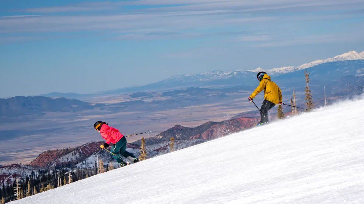
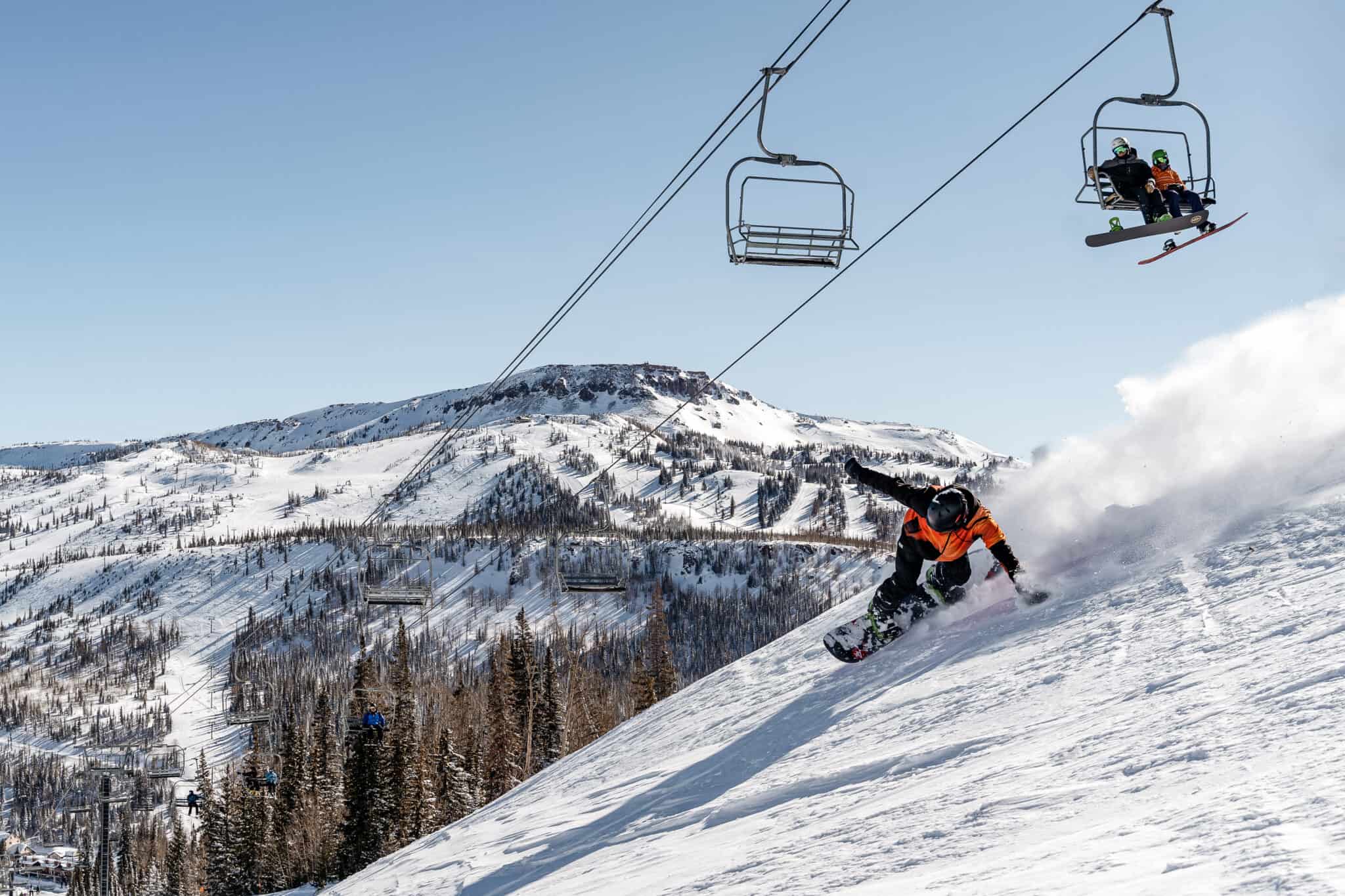
Pros for Skiers and Riders:
- Predictable morning conditions with excellent visibility
- Consistent snow surfaces early in the day
- Reliable sunny periods for photography and sightseeing
- Stable wind patterns during peak skiing hours
Cons for Mountain Activities:
- Rapid temperature drops create icy conditions after sunset
- Wind chill effects intensify significantly on chairlift rides and exposed areas
- Late afternoon shadows cause rapid surface freezing
- Deceptive warmth can lead to inadequate clothing preparation
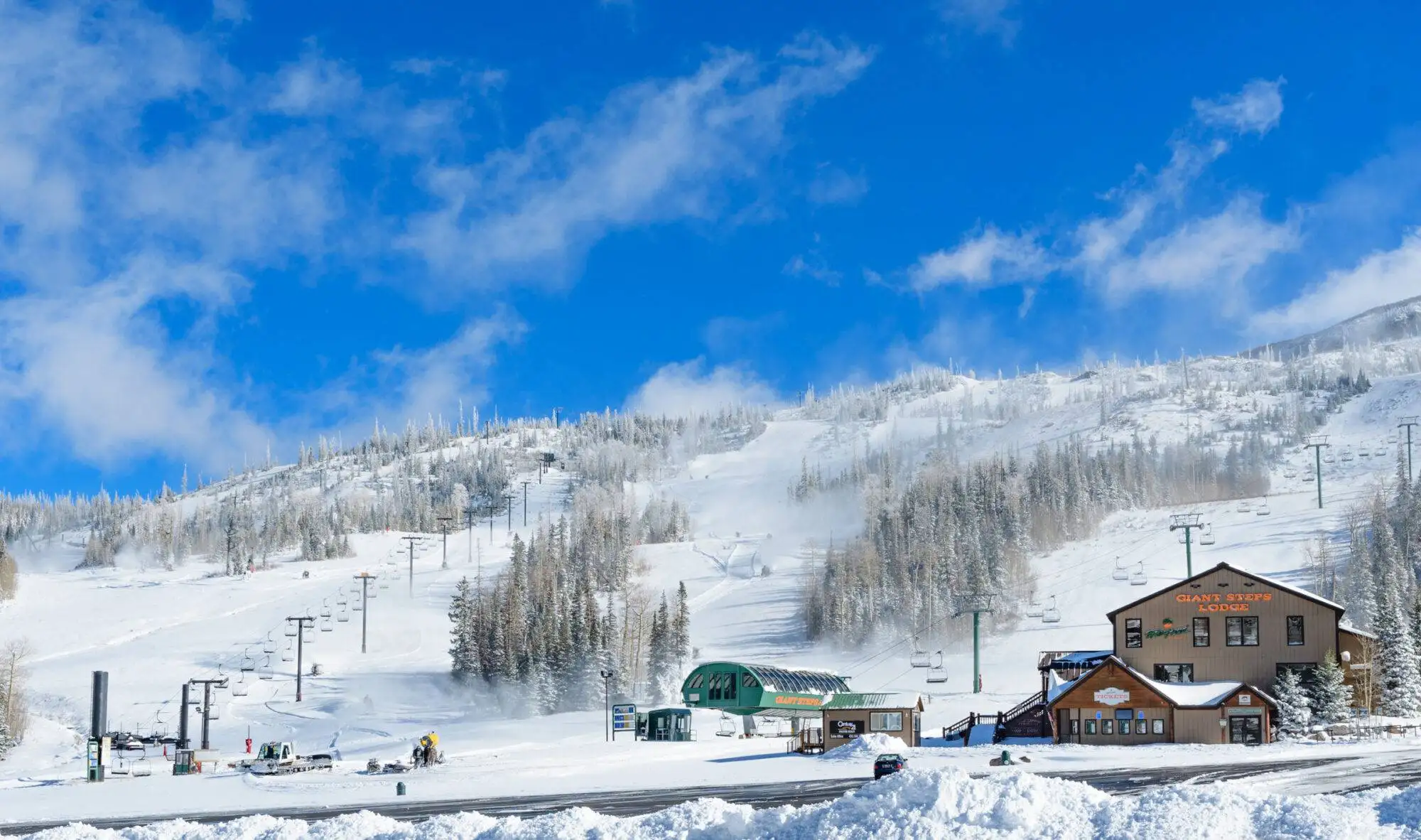
Book Now – Save on Brian Head Lift Tickets
Current Conditions & Live Feeds
Current conditions in Brian Head change rapidly due to the resort’s extreme elevation and exposure to shifting mountain microclimates, making real-time data essential before any trip up UT-143 from lower elevation areas like Cedar City.
The weather company monitoring stations throughout the resort provide crucial information for both safety and activity planning.
Typical Current Metrics:
- Temperature: Base area currently ranges from 35-45°F during sunny afternoon periods, dropping to 18-28°F during overnight hours
- Sky Conditions: Predominantly sunny with occasional partly cloudy periods, transitioning to mostly clear conditions in the evening
- Wind Direction/Speed: Prevailing southwest to west-northwest winds at 8-15 mph, with occasional gusts reaching 20-25 mph on ridgelines
- Humidity Levels: Characteristically low at 25-40%, currently around 25% to 30%, contributing to rapid evaporation and excellent powder snow preservation
- Visibility: Generally excellent at 12+ miles except during active snowfall when conditions can deteriorate rapidly
Data Sources and Reliability: The National Weather Service maintains official reporting stations at Brian Head, while additional monitoring equipment operated by Brian Head Resort LLC provides real-time summit conditions.
Current conditions data come from multiple sources including automated weather stations and manual observations.
Live Webcam Information:
- Base Area Camera: Shows current snow coverage, lift operations, and real-time visitor activity
- Summit Camera: Displays upper mountain conditions, cloud formations, and wind effects
- Parking Area Views: Help assess current road conditions and chain requirements
Base vs. Summit Current Conditions: On a typical afternoon, the base area might show 44°F with sunny skies and light 8 mph southwest winds, while the summit simultaneously experiences 35°F with partly cloudy conditions and moderate 15-20 mph northwest winds creating noticeable wind chill effects.
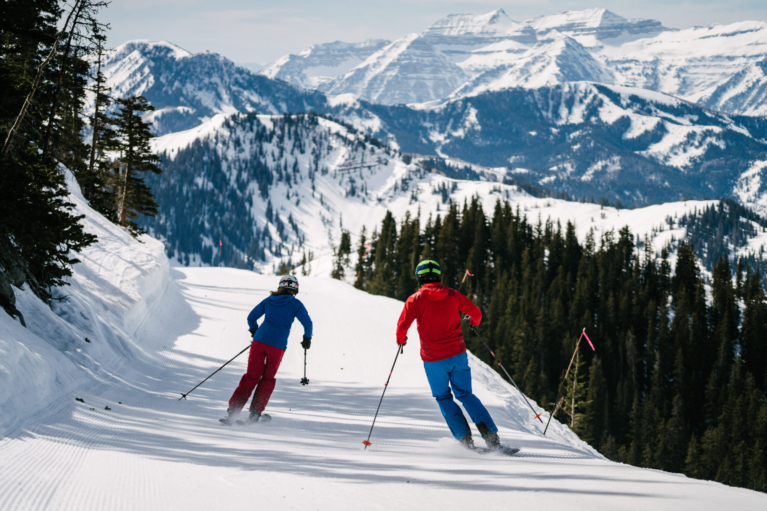
Snow Report & Ski Season Weather
Snow reports serve as the foundation for planning any Brian Head visit, providing critical data on base depth, recent accumulations, and snow surface conditions that directly impact both safety and enjoyment.
The resort’s elevation advantage creates ideal snow preservation conditions, with base depths frequently exceeding 30-40 inches during midwinter periods and 24-48 hour snowfall totals often reaching double digits during active storm cycles.
Current Season Statistics:
- Base Snow Depth: Brian Head Resort has a base snow depth of 23 inches.
- Season Total Snowfall: The total snowfall for the season at Brian Head Resort is 5 inches.
- Last 24 hours: 0-3 inches new snow
- Past 7 days: 4-12 inches accumulated
- Current base depth: 23 inches mid-mountain
- Season total: 5 inches
Early Season Patterns (November-December): Natural snowfall combines with extensive snowmaking operations covering 70% of terrain, building base depths from initial coverage to established winter conditions.
Temperatures consistently below freezing enable excellent snow quality, though coverage may remain variable on lower elevation runs during early December.
Midwinter Conditions (January-February): Peak snow accumulation periods feature frequent storm systems delivering 6-18 inches per event, creating the legendary Utah powder conditions.
Base depths often exceed 40-60 inches with consistent coverage across all terrain, supporting full mountain operations.
Spring Conditions (March-April): Freeze-thaw cycles (periods where temperatures rise above and fall below freezing, causing snow to melt during the day and refreeze at night) create varied surface conditions throughout the day, with firm morning surfaces transitioning to softer afternoon conditions.
Snow coverage remains substantial but requires careful timing for optimal skiing experiences.
Snow Pattern Pros:
- Exceptionally dry Utah powder with low moisture content
- High elevation preserves snow quality throughout the season
- Frequent sunny days between storms provide excellent visibility
- Consistent snowfall pattern supports 120+ day operating seasons
Snow Pattern Cons:
- Storm cycles can create challenging road access on UT-143
- Active snowfall periods may cause whiteout conditions
- Upper mountain wind holds possible during severe weather
- Rapid snow accumulation requires constant avalanche monitoring
Forecast Note: There is a chance of snow accumulation of 1 to 3 inches in the upcoming days. Snow showers are expected with a 50% chance of snow.
Book Now – Ski & Stay Deals in Brian Head
Seasonal Climate in Brian Head, UT
Brian Head’s high-elevation climate creates dramatically different conditions compared to nearby lower-elevation communities like Cedar City, establishing it as a true four-season mountain destination where winter dominates the calendar and summer provides a brief but spectacular respite from desert heat.
Winter Climate (December-February): The longest season features average daytime highs ranging from 25-35°F with overnight lows frequently dropping into single digits or below zero during arctic air outbreaks.
Multi-day snow events deliver the majority of annual precipitation as snow, with December typically seeing peak liquid equivalent (the amount of liquid water produced if all the snow melted) around 4 inches.
Sunny periods between storms provide excellent visibility, though winds from the northwest can create significant wind chill effects on exposed ridges.
Spring Transition (March-May): Rapid temperature swings characterize this volatile period, with March highs climbing toward 50°F while overnight lows remain near freezing.
Snow remains the dominant precipitation form through April, though warming cycles increase avalanche risks on steep terrain.
May marks the primary snowmelt period with afternoon temperatures reaching the 60s-70s°F for the first time since the previous fall.
Summer Mountain Weather (June-August): The brief but pleasant summer season brings daytime highs into the comfortable 65-75°F range with cool nights dropping to the 40s-50s°F.
July represents the warmest month with occasional afternoon thunderstorms influenced by North American Monsoon patterns.
Despite warm afternoon temperatures, evening cooling requires layers as temperatures can drop 30°F or more after sunset.
Fall Return to Winter (September-November): Early fall extends summer-like conditions with September highs near 70°F, but rapid cooling begins in October as first snows become possible.
November marks the definitive transition back to winter with highs dropping to the 40s-50s°F and increasing snow chances signaling the return of ski season.
Winter Season Pros and Cons:
- Pros: World-class powder snow, full terrain access, winter sports paradise, consistent cold preserving snow quality
- Cons: Extreme cold during arctic outbreaks, challenging road access, limited daylight hours, potential for dangerous wind chill
Summer Season Pros and Cons:
- Pros: Comfortable mountain temperatures escape desert heat
- Clear night skies perfect for stargazing and astronomy
- Wildflower blooms and alpine photography opportunities
- Lower crowds and accommodation rates
- Cons: Reduced service schedules at some businesses
- Brief season duration limits visit timing flexibility
- Afternoon thunderstorm risks requiring weather monitoring
- Some mountain access roads may have seasonal restrictions

Book Now – Find Cabins & Condos in Brian Head
How to Prepare for Brian Head Weather
Packing Tips
Even during seemingly mild sunny days, Brian Head’s extreme elevation, persistent winds, and dramatic temperature swings demand comprehensive preparation that goes far beyond typical mountain resort packing.
The combination of intense high-altitude sun exposure and potential for rapid weather deterioration requires both proper gear selection and safety planning.
Essential Clothing and Layering System:
- Base Layer: Moisture-wicking merino wool or synthetic materials for temperature regulation from sub-zero to 50°F conditions
- Mid Layer: Insulating fleece or down suitable for temperatures ranging from 0°F to 40°F depending on activity level
- Outer Shell: Waterproof, breathable jacket and pants for wind protection and snow shedding during storm conditions
- Extremity Protection: Insulated gloves/mittens, warm hat covering ears, neck gaiter, and quality goggles with interchangeable lenses
Specialized High-Altitude Gear:
- Eye Protection: Goggles with both bright sun and low-light lenses due to extreme UV reflection off snow surfaces
- Sun Protection: SPF 50+ sunscreen and lip protection essential year-round due to thin atmosphere and snow reflection
- Emergency Items: Headlamp, emergency blanket, and communication device for backcountry activities
Non-Winter Season Essentials:
- Summer Preparation: Lightweight jacket for evening cooling, rain shell for monsoon thunderstorms, sun hat for UV protection
- Footwear: Sturdy hiking boots with ankle support for rocky alpine terrain and potential for unexpected weather changes
Safety Considerations
Weather-Related Safety Considerations:
- Altitude Acclimatization: Increased water intake necessary due to dry mountain air and elevation effects on body systems
- Hypothermia and Frostbite Awareness: Recognize early symptoms during extended exposure to cold and wind
- Road Condition Monitoring: Check UT-143 and UT-148 for chain requirements and closure information before departure
- Emergency Preparedness: Vehicle emergency kit including blankets, food, water, and communication devices
Packing Strategy Pros and Cons
Modern Gear Advantages:
- Advanced synthetic and down insulation provides warmth without bulk
- Breathable waterproof fabrics allow activity without overheating
- Layering systems adapt to wide temperature ranges throughout the day
- Modern materials offer superior moisture management and quick drying
Preparation Challenges:
- Underestimating wind chill effects during chairlift rides and exposed areas
- Inadequate eye protection leading to snow blindness or sun damage
- Insufficient hydration planning for dry mountain air
- Failure to monitor changing weather conditions requiring gear adjustments
Final Weather Monitoring: Check the latest 10-day and hourly weather forecasts specifically for Brian Head, UT immediately before your departure, as mountain weather can change rapidly and significantly impact both access routes and on-mountain conditions.
Current conditions and temperature data from multiple sources help ensure your preparation matches actual forecast conditions rather than seasonal averages.

The extreme elevation and dynamic weather patterns at Brian Head create some of Utah’s most spectacular mountain conditions, but they demand respect and preparation from every visitor.
Whether you’re chasing fresh powder on a Tuesday morning or hiking alpine trails during a partly cloudy summer afternoon, understanding and preparing for these unique high-altitude conditions ensures both safety and maximum enjoyment of this remarkable mountain destination.
From arctic air intrusions that can drop temperatures well below zero to the intense sun exposure that requires protection even on cloudy days, Brian Head weather offers both incredible opportunities and serious challenges that reward the well-prepared visitor with unforgettable mountain experiences.
Weather Resources for Brian Head
Get the most out of your Brian Head adventure by staying ahead of the weather!
The National Weather Service delivers fantastic detailed forecasts that’ll keep you perfectly prepared, including up-to-the-minute hourly updates, essential warnings, and current conditions tailored specifically for Brian Head, UT.
Discover even more localized insights with amazing weather apps and companies that provide real-time data – from temperature trends to wind speeds and fresh snow reports that’ll make your mountain getaway absolutely perfect!
Brian Head Resort’s official website and social media channels are your gateway to mountain paradise!
These incredible resources deliver up-to-the-minute snow conditions, live lift updates, and stunning webcam feeds that bring the mountain right to your screen.
Find out whether you’ll enjoy a gorgeous sunny day, experience beautiful partly cloudy skies, or witness fresh snowfall – we’ve got you covered with all the details you need to plan your perfect mountain activities!
Master the mountain weather like a pro with insider knowledge that’ll transform your planning! Understanding terms like “light and variable” winds means you’re in for calm, peaceful conditions, while “near record” temperatures signal an extraordinary day that’s unusually warm or refreshingly cool.
Knowing the difference between “mostly clear” and “partly cloudy” skies helps you pack the perfect gear – whether that’s extra sun protection for brilliant blue-sky days or layers for those dynamic mountain conditions!
Get ready for your ultimate Brian Head experience – whether you’re planning an epic bluebird day in December or a spectacular sunny afternoon in July!
Always check multiple weather sources for the latest forecasts and hourly updates to ensure you’re perfectly prepared for Brian Head’s exciting and ever-changing mountain weather.
This way, you’ll maximize every moment of your time in this absolutely stunning Utah mountain destination.